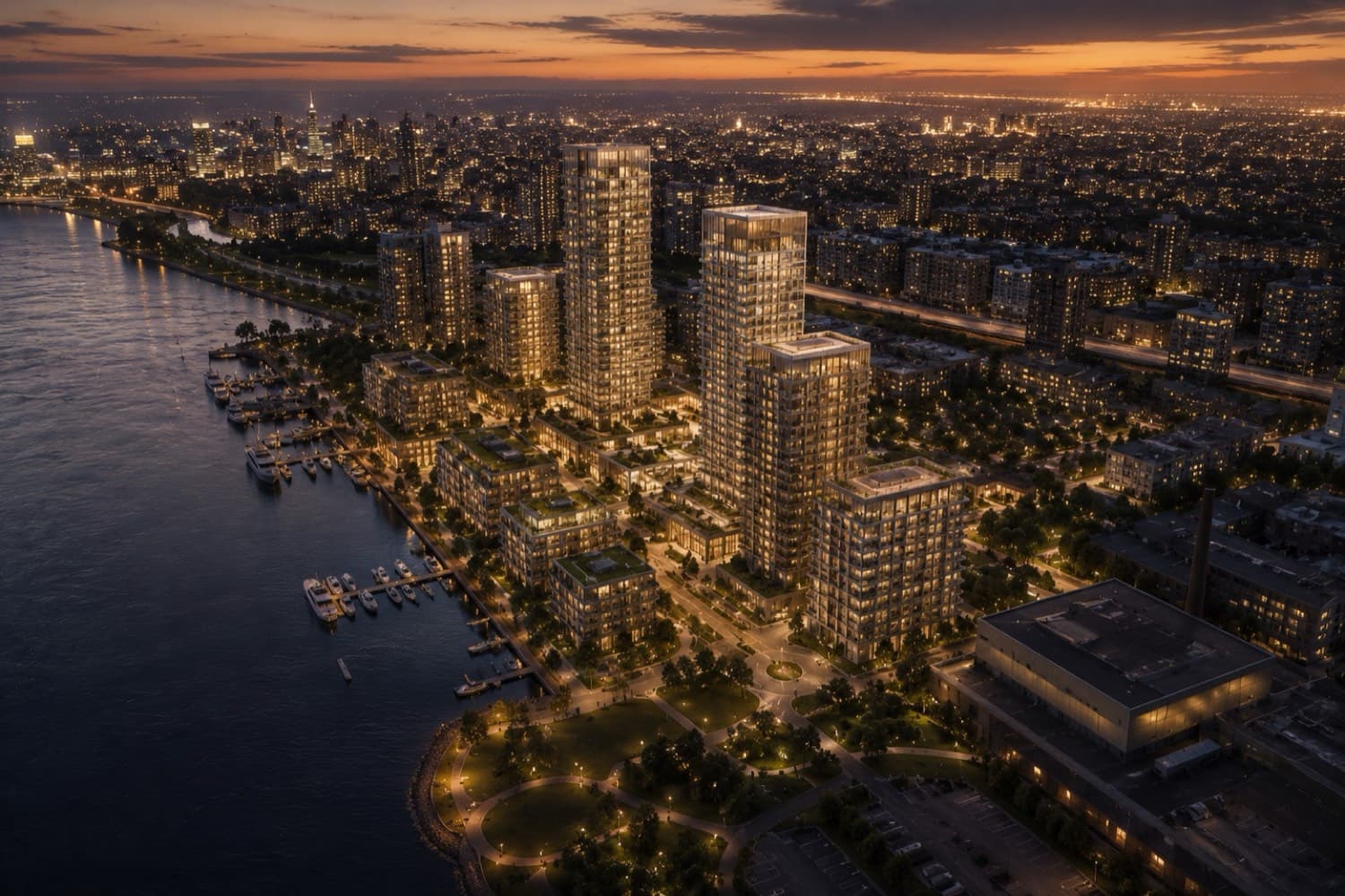
Aerial & Masterplan Rendering
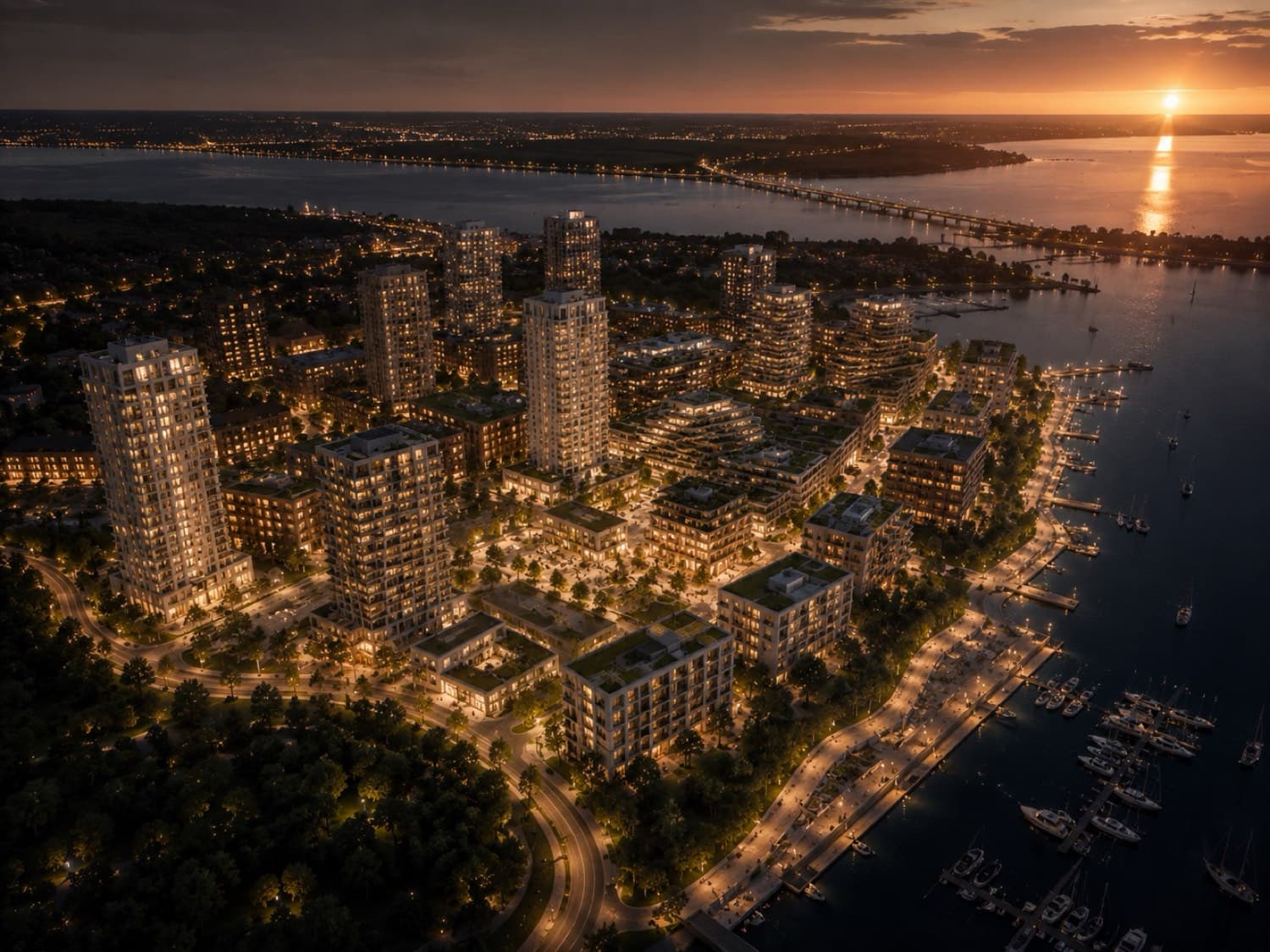
The whole-story shot: your development in its real context, phased masterplans that read at a glance, amenity and wayfinding layers that sell the neighborhood, not just the building. Drone-matched where sites exist, fully built where they don’t.
WHAT YOU GET
Masterplans read from the air
Phased developments live or die on whether people can see the whole story: what breaks ground first, where the park lands, how the district connects. Aerial rendering and masterplan visuals make the argument in one frame.
We composite the model into real drone photography or build a full 3D context, with phase toggles and annotation layers that survive from planning submission to launch campaign.
For planning submissions we render from the exact verified viewpoints the authority requests, with accurate massing and shadow studies; for marketing we take liberties only with weather. The two audiences never see the same frame, and both get what they need from a single scene build.